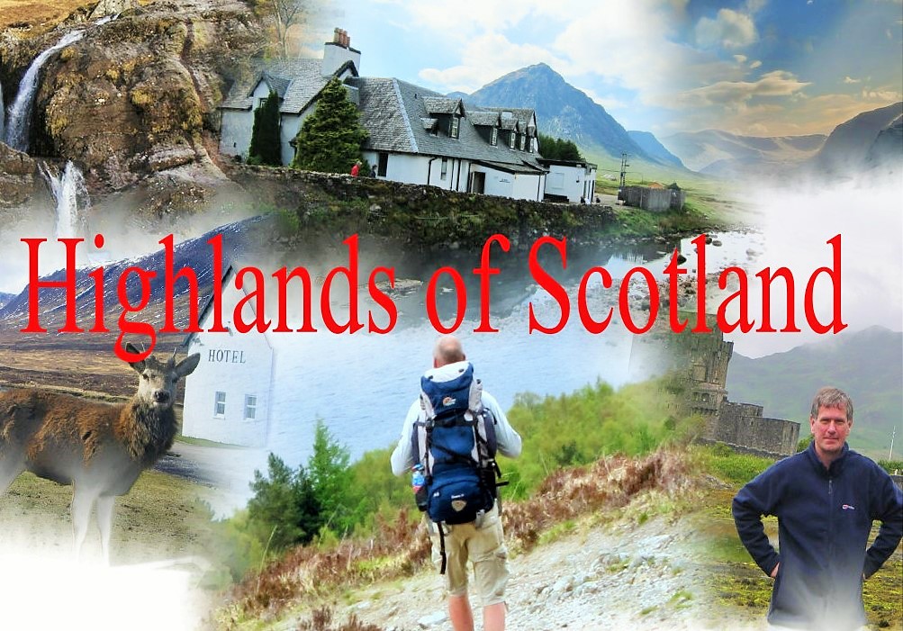
Walking in Scotland
There is no better country in the world for walking than Scotland.
All levels of hiking . I have looked out my favourite mountain walking images to let you see walking in Scotland. Munroes are the highest of Scotland's mountains, 284 mountain tops[over3000ft] named after the man who first catalogued them, Sir Hugh Munro.
Munros are among the finest mountains in Scotland. The Corbetts are the equivalent mountains with altitudes between 2500ft and 3000ft. Whilst smaller in stature many Corbetts rival Munros for walking and climbing.
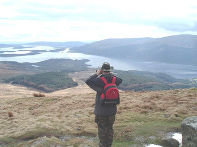
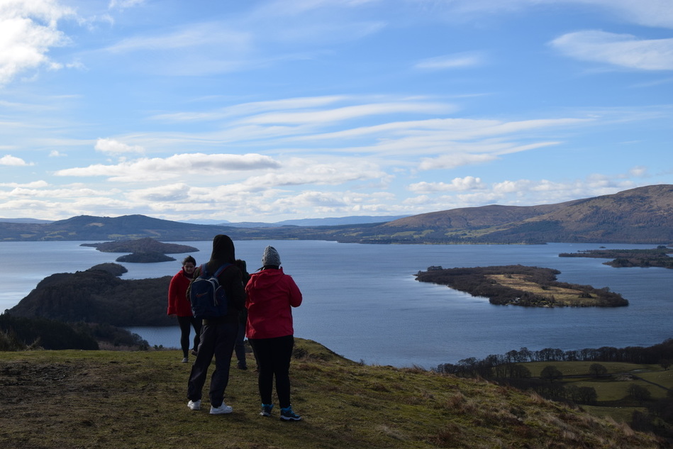
Below Ben Lomond
Ben Lomond
Its accessibility from Glasgow and elsewhere in central Scotland, together with the relative ease of ascent from Rowardennan, from where a well-trodden track runs all the way to the summit, makes it one of the most popular of all the Munroes. On a clear day, it is perfectly visible from the higher ground areas of Glasgow.
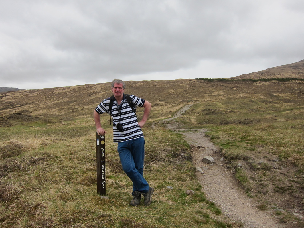
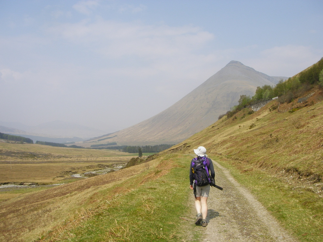
West Highland way is a long distance path from Milngavie to Fort william. The path starts right at the train station in Milngavie and finishes not too far from railway at the end. It is 154.5 km (96.0 mi) long.
I have enjoy many a long day on the way.The path uses many ancient roads once used by drovers and old coaching roads. Be careful during Lambing Season [April 15th until May 15th 2015]
I have enjoy many a long day on the way.The path uses many ancient roads once used by drovers and old coaching roads. Be careful during Lambing Season [April 15th until May 15th 2015]
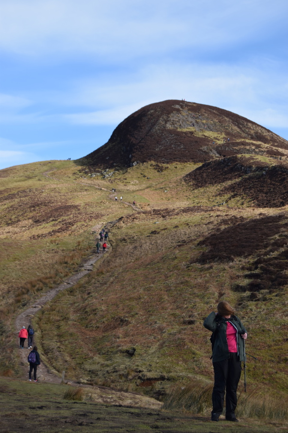
The Magic of being on the mountain
Going up
Hello-Hi ya- Hello-Hi- HI-Hello-Nice day-Hello-No be long,Hello,Nice day,Hello,Your nearly there,Hello nice day,Great view,
Finally at top-----
Great views eh, Lovely weather,worth the hike,Nice aa, Ok -Time to head doon,hi,hello---
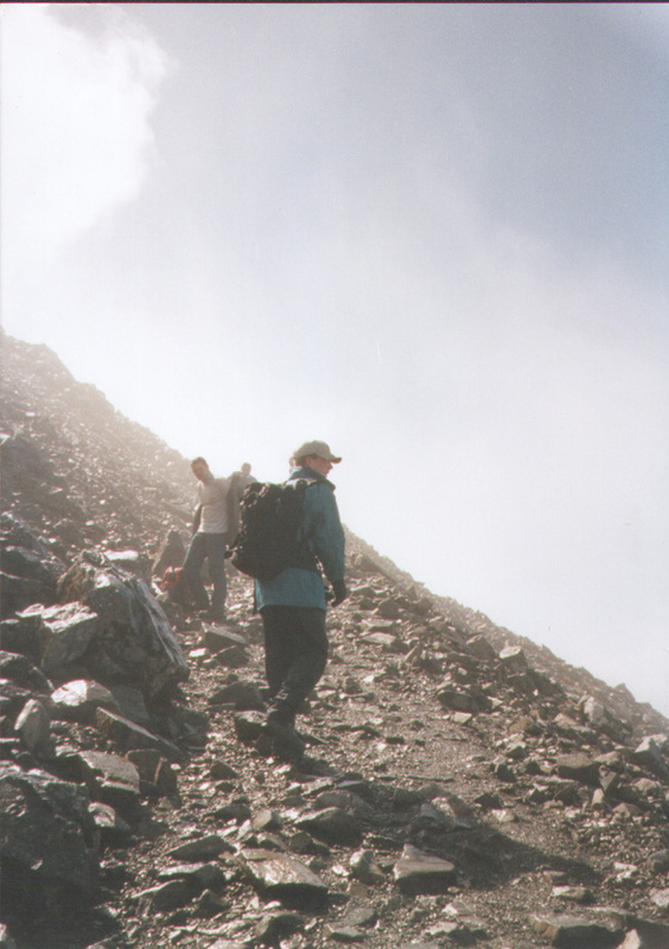
Way doon
Great views,Hi,hello,hi ya.How long to the top,Hello,Hi,Hello,Hi,Great day,hi,hello hi .Well that was a great walk
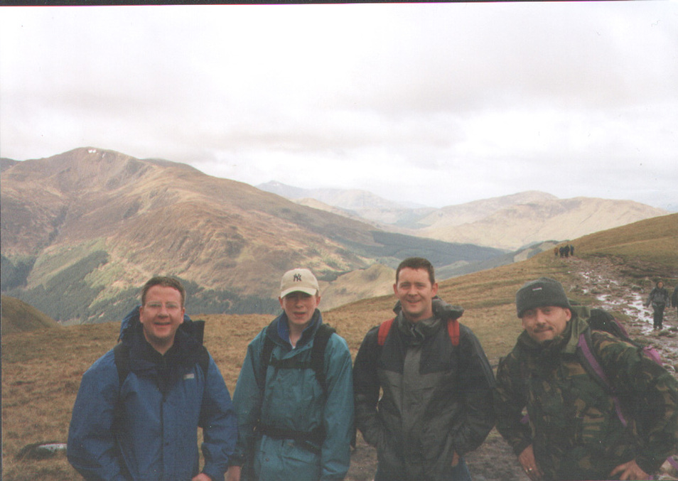
The friendly Hill walkers on the mountains.
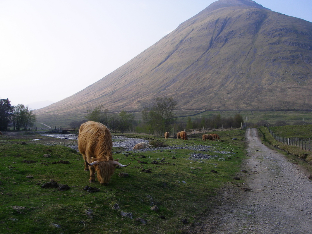
Above some of the locals you will meet on the way.
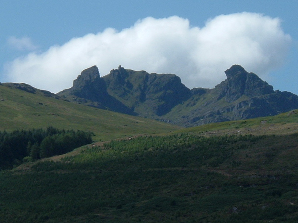
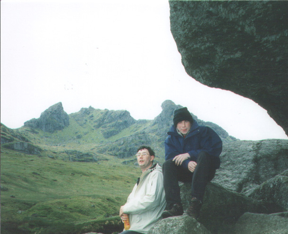
Ben Arthur --The Cobbler
Start not that far from the village of Arrocher
Start not that far from the village of Arrocher
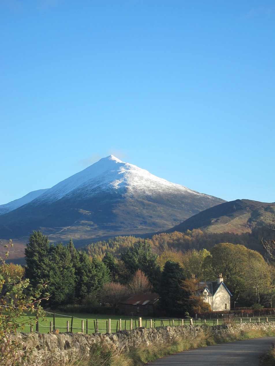
Schiehallion
It is popular with walkers due to its accessibility, ease of ascent and spectacular views; in 2000 it was estimated that between 17,500 and 20,000 walkers a year made the ascent. Since 1999 the eastern side of the mountain has been owned by the John Muir Trust.
The name Schiehallion is an anglicised form of the Gaelic name Sìdh Chailleann,which is usually translated as 'Fairy Hill of the Caledonians' but may also be translated as 'The Maiden's Pap', or 'Constant Storm'
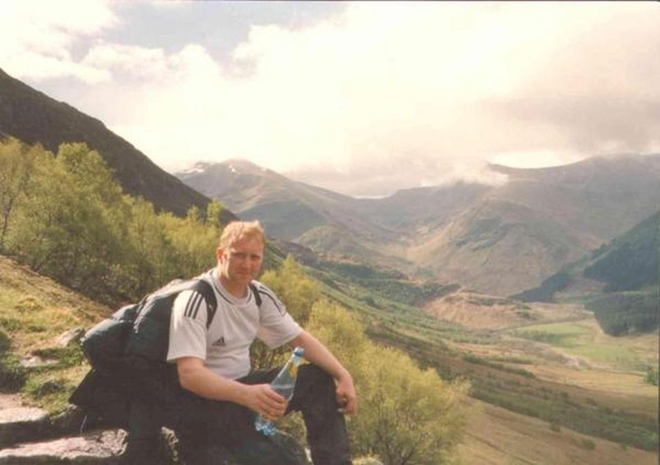
Ben Nevis
Ben Nevis is the highest mountain in the British Isles. It is located at the western end of the Grampian Mountains in the Lochaber area of Scotland,close to the town of Fort William. Twice we have had to struggle up the mountain in aide of charity.
Ben Nevis is the highest mountain in the British Isles. It is located at the western end of the Grampian Mountains in the Lochaber area of Scotland,close to the town of Fort William. Twice we have had to struggle up the mountain in aide of charity.
The highest point in Scotland is the mountain peak of Ben Nevis. It's actually the highest peak in the UK at 4,418 ft.

